Chicagoland Wakes Up to Sunshine as Warm Fall Weekend Begins
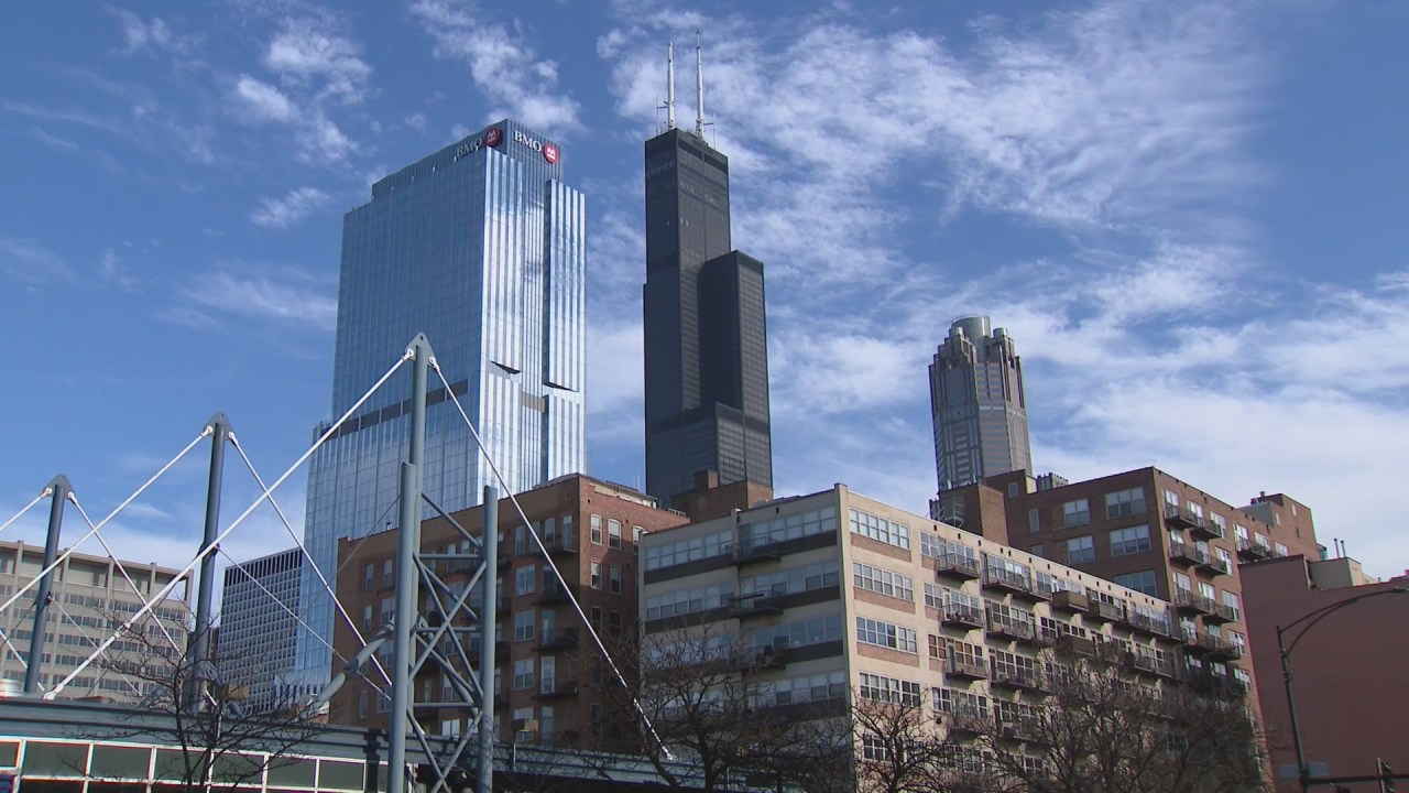
Chicagoland is waking up to plenty of sunshine as a warm weekend gets underway. The first full weekend of Fall begins with uninterrupted sunshine and unseasonably warm temperatures, accompanied by excellent visibility and moderate humidity. Highs will be more than 10 degrees above normal, making for an unusually warm start to the season.
Today’s Weather
Expect mostly sunny and warm conditions today, with temperatures well above seasonal averages. Some areas may experience morning fog. Winds will be coming from the west at 5-10 mph. Air quality ranges from good to moderate, supporting comfortable outdoor activities. Highs will reach the mid-80s.
Tonight
Tonight will be mostly clear and comfortable. Winds will shift to the north-northeast at 5-10 mph. Overnight lows will be in the lower 60s within the city and drop to the mid to upper 50s in outlying areas.
Tomorrow’s Outlook
Saturday will be mainly sunny with a slight cooling trend, especially along the lakeshore where afternoon temperatures will dip into the mid-70s. Inland areas can expect highs around 84 degrees. Winds will continue from the north-northeast at 5-15 mph.
Extended Outlook
The warm and sunny weather is set to continue into the start of next week. Monday’s highs will be in the mid to low 80s, maintaining the unseasonably warm trend. On Tuesday, expect temperatures to drop into the mid to upper 70s, marking the last day of September.
October begins with partly cloudy skies and highs in the mid-70s on Wednesday, followed by more partly cloudy conditions on Thursday with temperatures in the seasonal mid to low 70s. By Friday and through the weekend, highs will return to the upper 70s and low 80s.
Currently, there is no rain in the forecast for the upcoming week.
Regional Temperature Outlook
Well above normal temperatures will be present across a large area including the Northern Plains, Upper Midwest, Great Lakes, and even parts of the Northeast. The 850 millibar temperature anomaly – a good indicator of surface temperatures – shows significant areas shaded in red and orange, representing above-normal to much-above-normal temperatures.
These above-normal temperatures are expected to dominate for at least the next 7-8 days, with only minor cooling possible late next weekend, which coincides with the first full weekend of October.
Precipitation Forecast and Drought Concerns
The 7-day rainfall forecast shows zero rainfall expected across a large portion of the Midwest. This dry pattern will likely exacerbate existing drought conditions in the region.
—
Stay tuned to the WGN Weather Center Blog for continued updates on the climate and environment. Enjoy the warm fall weather while it lasts!
https://wgntv.com/weather/chicago-weather-saturday-09272025/