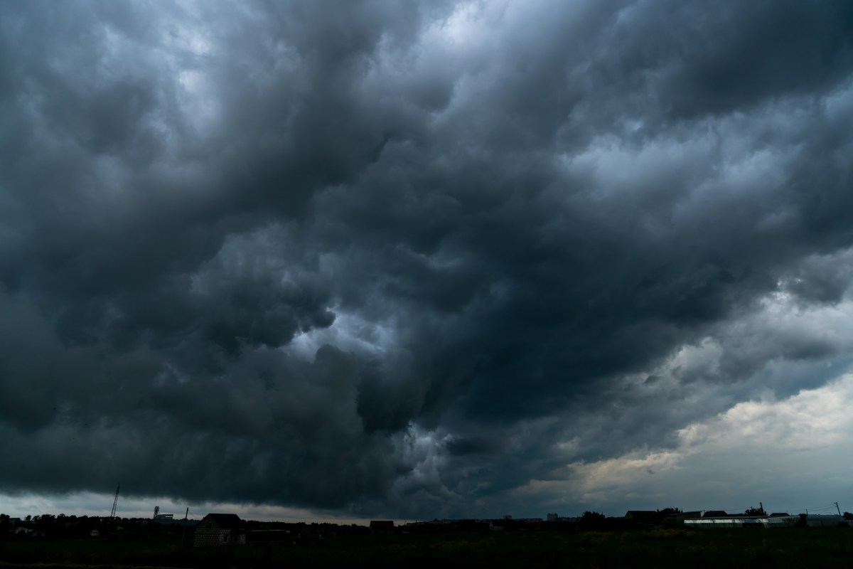
More than 10, 000 people in southwest Missouri were suddenly told to seek shelter on Friday afternoon as a severe thunderstorm with strong winds and damaging hail tore through the region. The central and Midwestern U. S. experiences a secondary severe weather season in the fall, National Weather Service (NWS) meteorologist Ben Deubelbeiss told Newsweek, though the storms are not as frequent as during the spring season. Why It Matters The NWS issued a severe thunderstorm warning for parts of east central Missouri, underlining the hazardous nature of fast-moving severe weather. These warnings are critical, offering residents timely information about storm threats such as sizable hail and strong winds, and providing clear steps to stay safe. Advisories to stay away from windows and seek shelter emphasize the potential for injury from flying debris or hail impacts during such events. What To Know At 2: 39 p. m. CST, the NWS St. Louis office issued a severe thunderstorm warning for southwestern Franklin County and southern Gasconade County in east central Missouri. The warning is effective until 3: 30 p. m. CST. At the time of the advisory, a strong storm was located near Owensville, moving east at approximately 25 miles per hour. The primary hazard cited in the warning is quarter-size hail, as indicated by radar. According to the bulletin, “damage to vehicles is expected.” Furthermore, the warning highlights the following affected areas and estimated storm timeline: Bland around 2: 40 p. m. CST Owensville around 2: 45 p. m. CST Additional locations impacted include Canaan and Leslie The NWS emphasized precautionary steps, urging people in affected areas to seek shelter in a well-built structure and to stay away from windows. “This storm is capable of producing large hail,” the warning said. The bulletin also provided radar data confirming a maximum hail size of 1 inch and wind gusts below 50 mph, noting that impacts may include damage to vehicles and potential risks to people unprotected outdoors. Residents in the storm’s path are urged to remain vigilant, follow official instructions, and stay informed about evolving weather updates through authorized emergency channels and the NWS website. What People Are Saying NWS St. Louis in a hazardous weather outlook: “Isolated thunderstorms are possible this afternoon in parts of southeast Missouri.” NWS in a Friday forecast: “Elsewhere, scattered showers and storms are expected across the Ohio and Tennessee Valleys, Mid-Atlantic, and Southeast through Saturday with a low pressure system/frontal passage.” What Happens Next The severe thunderstorm warning remains active until 3: 30 p. m. CST for the identified Missouri counties. Residents are advised to continue monitoring official updates and to be prepared for hazardous weather, including hail and strong wind gusts. Further advisories may be issued if storm conditions persist or worsen, and officials may provide updates as the situation evolves.
https://www.newsweek.com/weather-warning-stay-indoors-thunderstorm-hail-missouri-11091277
Sudden Warning Tells Thousands to Stay Away From Windows