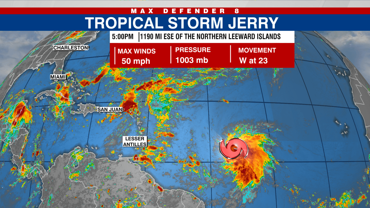
TAMPA, Fla. (WFLA) — Tropical Storm Jerry formed in the Atlantic Ocean on Tuesday. The storm currently has maximum sustained winds of 50 mph and is located about 1,190 miles east-southeast of the northern Leeward Islands, according to the National Hurricane Center (NHC).
Jerry is moving toward the west at 23 mph and is expected to be near or north of the northern Leeward Islands on Thursday and Friday. From there, forecasters predict the storm will turn out to sea. The NHC also expects Jerry to strengthen into a hurricane within the next day or so.
A Tropical Storm Watch is currently in effect for the following areas:
– Barbuda and Anguilla
– St. Barthelemy and St. Martin
– Sint Maarten
In other weather news, a trough of low pressure located near the Yucatan Peninsula is generating showers and thunderstorms across parts of northern Guatemala, southeastern Mexico, and the waters of the southwestern Gulf of Mexico, according to the NHC.
This disturbance is expected to move over the Bay of Campeche today, with the possibility of development before it moves inland by the middle of the week. Regardless of development, heavy rain and gusty winds are likely in parts of the Yucatan Peninsula, Belize, and southern Mexico over the next few days.
The system currently has a 10% chance of development over both the next 48 hours and the next seven days.
https://fox5sandiego.com/weather/tropical-storm-jerry-forms-in-the-atlantic-nhc/


